GPS Control &
GIS Mapping
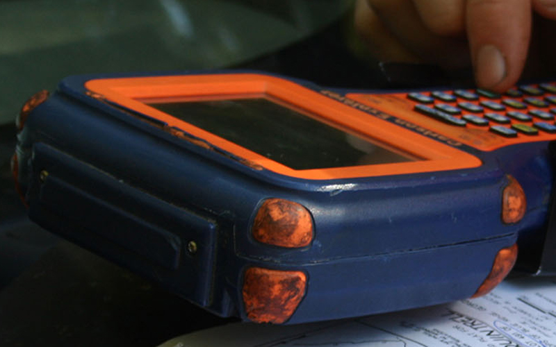
Land surveyors and mappers can carry GPS systems in backpacks or mount them on vehicles to allow rapid, accurate data collection.
GPS Control & GIS Mapping allows Lane S. Bishop & Associates to provide surveying and mapping data of the highest accuracy. GPS-based data collection is much faster than conventional surveying and mapping techniques, reducing the amount of equipment and labor required.
All Services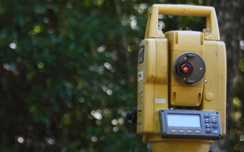
GPS Control & GIS Mapping
Lane S. Bishp & Associates provides a wide range of geospatial solutions to meet our client's needs. We provide services ranging from data development and data conversion, to the development of accurate land base data for geographic information systems (GIS) implementation, spatial analysis and custom applications. We consult with our clients in order to assist with their GIS needs, GIS implementation design and development, and future goals.
GPS supports the accurate mapping and modeling of the physical world — from mountains and rivers to streets and buildings to utility lines and other resources. Features measured with GPS can be displayed on maps and in geographic information systems (GIS) that store, manipulate, and display geographically referenced data.
View Our Services