
FEMA Elevation Certificates: Professional Flood Risk Assessment
Accurate elevation data to help reduce flood insurance premiums and ensure regulatory compliance. We provide the certified technical proof needed to protect your property and your wallet.
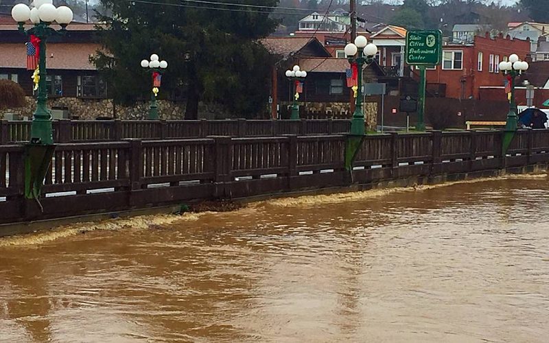
Do You Really Need Flood Insurance?
If your property is located in or near a Special Flood Hazard Area (SFHA), your lender likely requires flood insurance. However, generic flood maps aren't always accurate down to the specific elevation of your home or building. A FEMA Elevation Certificate provides the definitive proof of your property's actual elevation relative to the base flood level.
At Lane S. Bishop & Associates, we have completed countless elevation certificates for homeowners and developers across five states. Our registered surveyors use survey-grade equipment to provide the precise data that insurance agents and FEMA require to set your rates accurately.
Your Experts in Flood Compliance

Insurance Premium Reduction
Most clients find that a professional elevation certificate pays for itself through lower annual insurance costs.

Certified Professionals
Lane and Shelly Bishop are certified design professionals with decades of experience working directly with regulatory agencies like FEMA and LOMA.

Regional Authority
We understand the specific hydrology and flood mapping requirements for communities across GA, TN, NC, SC, and AL.
FEMA & Flood Plains
Given the terrain, topography and climate in the tri-county area it is well known that surface water is prevalent and common to a majority of properties in the region, ranging in size from small streams to large rivers. With this large movement of surface water of course comes flooding. FEMA is the primary agency that determines flood plain areas and flood elevations as well as regulations of construction or development within flood plain areas.

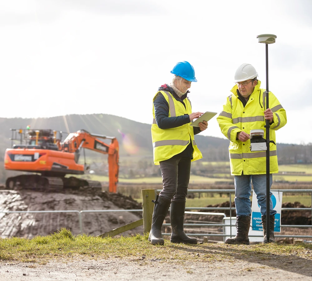
Floodplain Surveys
Across the country FEMA has a well-established mapping system that depicts the flood limits for thousands of rivers and streams. If you need assistance determining the location of the flood limits on your property or the flood elevation for building purposes give us a call and we can locate them on your property.
Elevation Certificates
In addition to locating the vertical elevation of a flood plain we can also prepare an Elevation Certificate which is a signed/sealed document certifying that your proposed or existing structure is above or below the flood plain elevation. An Elevation Certificate can be a valuable document to keep with property records but is most commonly required from the following organizations:
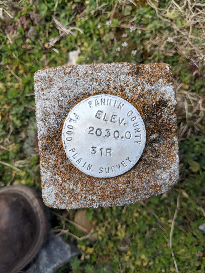
LOMA: Removing Your Property From the Flood Map
In many cases, a professional survey reveals that a structure is actually above the base flood elevation, even if it is mapped within a flood zone. We specialize in preparing and submitting **Letters of Map Amendment (LOMA)**. If our data proves your structure is safe from the 100-year flood, a LOMA can officially remove the federal requirement for flood insurance, saving you thousands of dollars over the life of your mortgage.
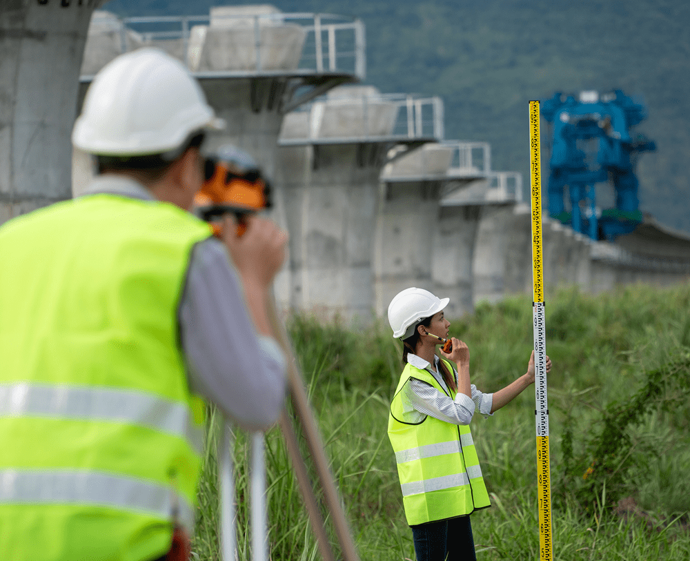
Hydrology Study
We can prepare hydrology studies for various reasons but the most common scenario is to determine the flood elevation of a flood plain that is Zone A. Because FEMA does not have flood elevations in many of the smaller tributaries to large rivers it is left to the surveyor or engineer to determine the flood elevation. If you are needing a flood elevation for a property in Zone A give us a call and we can determine if a hydrology study is necessary.