Topographic, LiDAR Bathymetry & Borrow Pit Surveys
Leverage 45+ years of expertise with Lane S. Bishop & Associates. We deliver precise terrain mapping, underwater bathymetry, and accurate borrow pit volume calculations to ensure your project's engineering success.
Accurate Mapping for Better Project Planning
A topographic survey provides a detailed representation of the natural and man-made features of a property. By collecting precise horizontal and vertical measurements, our surveyors create a comprehensive map showing elevations, contours, structures, utilities, drainage features, and other site characteristics. This information serves as the foundation for successful planning, design, engineering, and construction projects.
What Is a Topographic Survey?
A topographic survey measures and maps the physical features of a tract of land. Unlike a boundary survey, which focuses on property lines, a topographic survey documents the shape and elevation of the terrain along with existing improvements and site conditions.
The resulting survey typically includes:
Advanced LiDAR Technology
To provide the highest level of accuracy and efficiency, Lane Bishop & Associates utilizes LiDAR (Light Detection and Ranging) technology when appropriate for a project. LiDAR uses laser pulses to collect millions of precise data points, creating highly detailed three-dimensional models of the terrain and existing conditions.
LiDAR technology offers several advantages:
By combining traditional surveying methods with advanced LiDAR technology, we can provide comprehensive topographic information that supports informed decision-making throughout the planning and development process.
Why Do You Need a Topographic Survey?
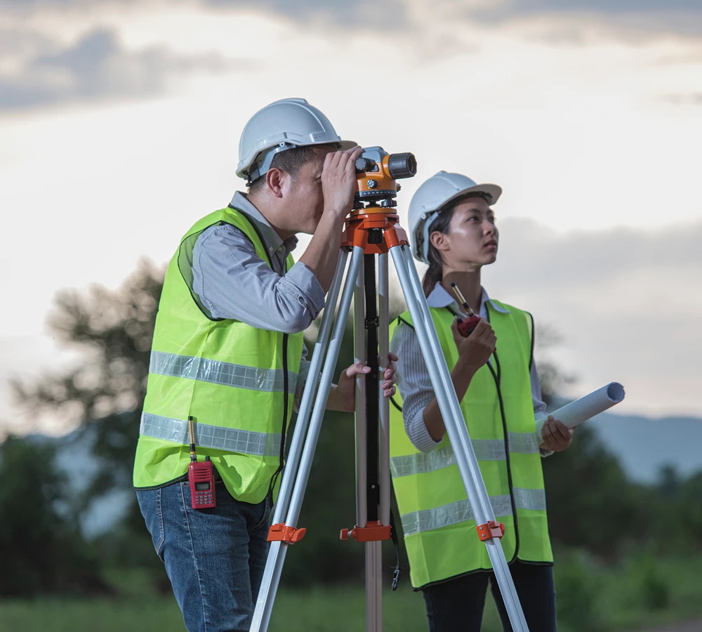
Topographic surveys provide critical information for:
Having accurate topographic data early in a project helps reduce design conflicts, improve construction efficiency, and minimize costly changes during development.
Our Approach
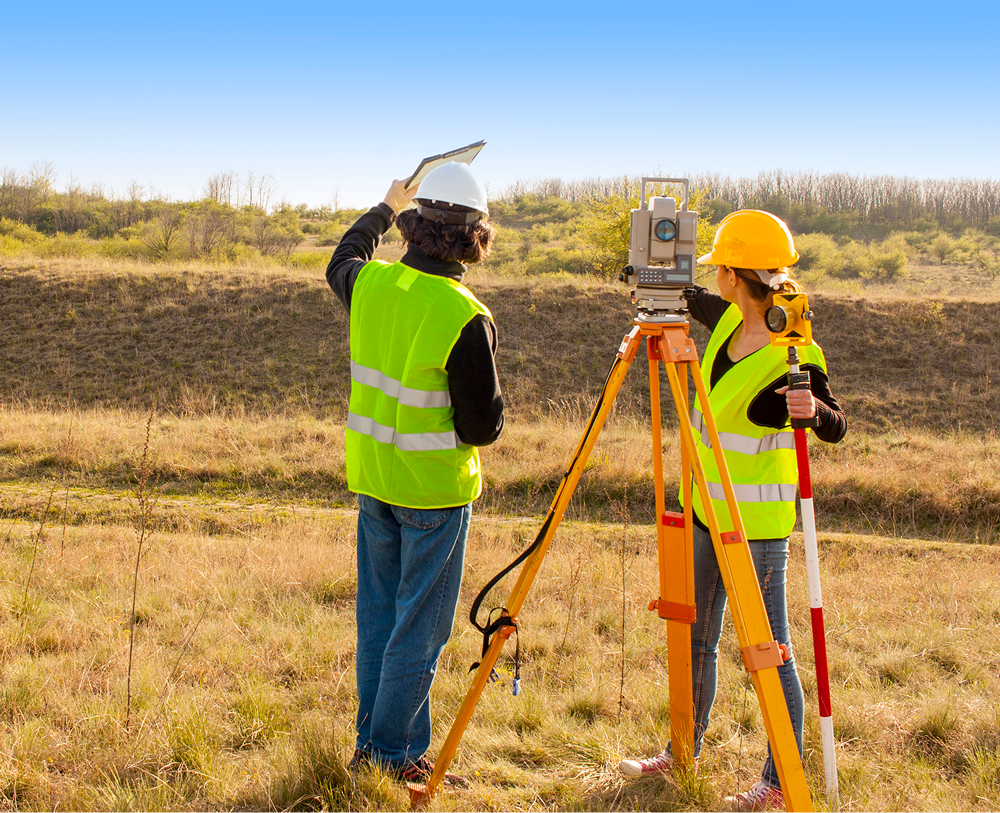
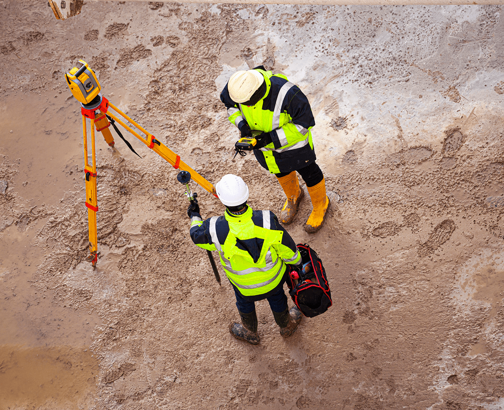
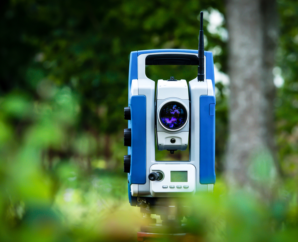
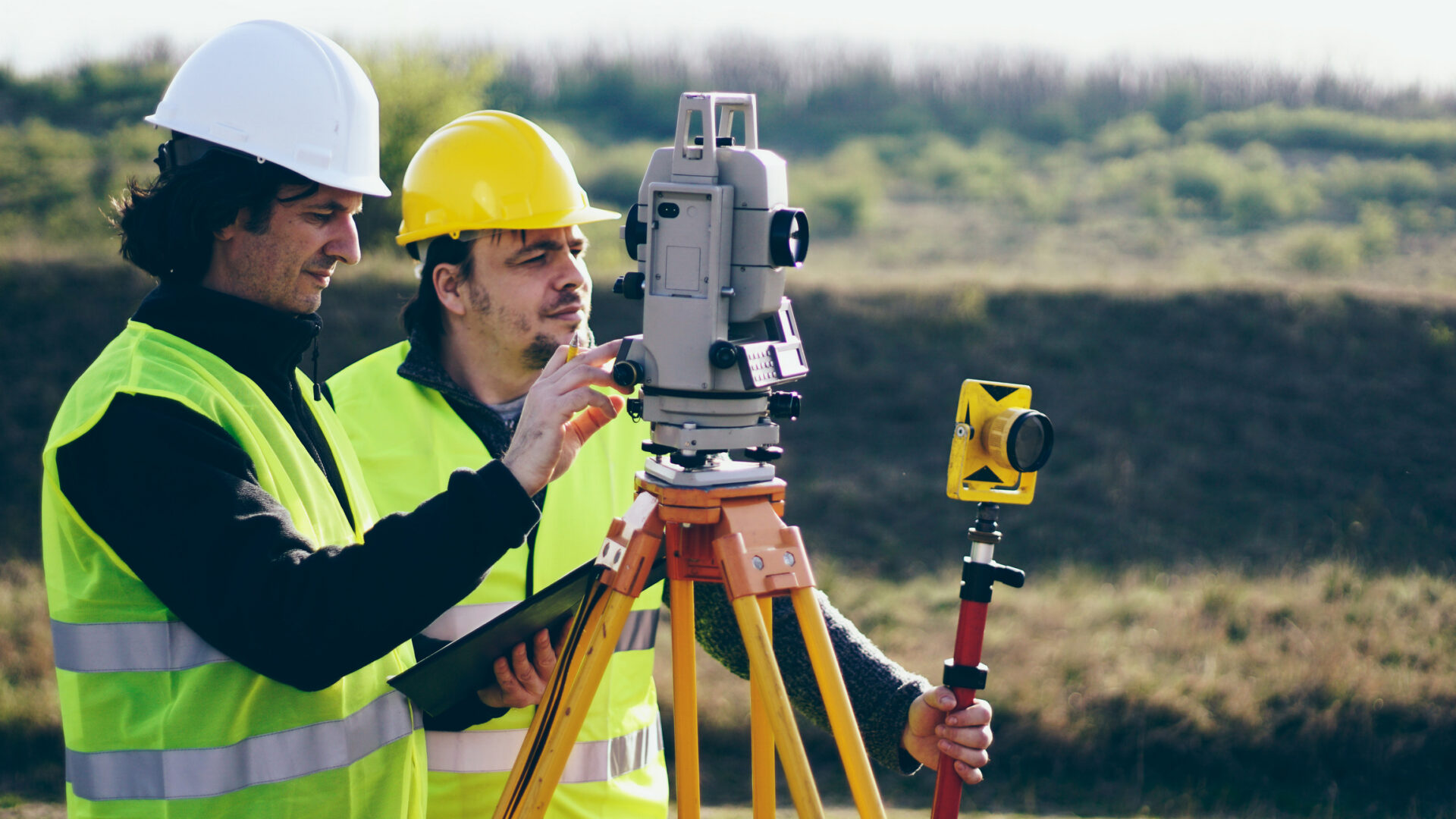
At Lane Bishop & Associates, we utilize modern surveying technology, including GPS, robotic total stations, drones, and LiDAR systems to collect accurate field data efficiently. Our experienced survey professionals process this information into detailed maps, surface models, and digital files tailored to the needs of engineers, architects, developers, contractors, and property owners.
Whether using conventional survey methods, LiDAR scanning, or a combination of technologies, our goal is to deliver reliable data that helps projects move from concept to construction with confidence.
Deliverables
Depending on project requirements, topographic survey deliverables may include:
Serving Georgia, Tennessee, and North Carolina
Lane Bishop & Associates provides professional topographic surveying and LiDAR mapping services throughout North Georgia. Whether you're planning a residential development, commercial project, roadway improvement, utility corridor, or private construction project, our team delivers the accurate data you need to move forward with confidence.
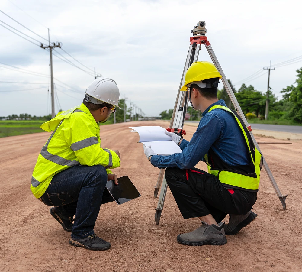
Photogrammetry & LiDAR: Precision Mapping From Above
Harnessing the power of aerial remote sensing to capture high-accuracy site data with unprecedented speed. We provide the detailed 3D models and digital twins needed for large-scale development and infrastructure planning.
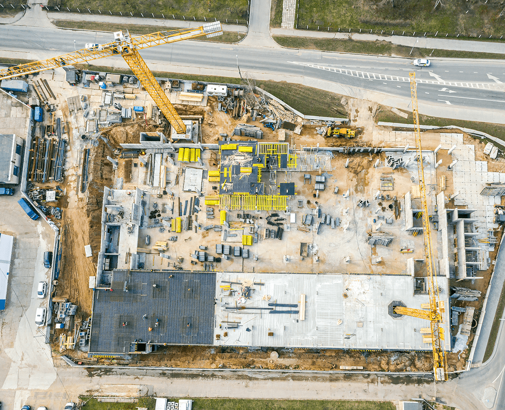
The New Frontier of Data Collection
Traditional ground-based surveying is indispensable, but for large tracts of land or hazardous terrain, aerial mapping offers a significant advantage in both time and safety. At Lane S. Bishop & Associates, we utilize cutting-edge Photogrammetry and LiDAR (Light Detection and Ranging) to deliver rich, multi-layered spatial data.
By integrating drone-based sensors with our survey-grade GPS control on the ground, we produce high-resolution orthomosaic maps and dense 3D point clouds that accurately reflect every contour and feature of your site.
Advanced Remote Sensing Solutions

Aerial LiDAR
Using laser pulses to "see through" dense vegetation and forest canopy to map the true ground surface—ideal for large-scale timber tracts and undeveloped land in the Southeast.

High-Res Photogrammetry
Stitching together thousands of high-resolution aerial images to create measurable digital maps and 3D digital twins of buildings and infrastructure.
Why Choose Aerial Mapping?
Speed is the primary driver. Projects that would take weeks for ground crews to complete can often be captured in days using our UAV systems. Additionally, LiDAR allows for high-precision mapping in areas too dangerous or dense for human access, providing a safer and more comprehensive dataset for your engineering team.
With our licensure in GA, TN, NC, SC, and AL, Lane S. Bishop & Associates is your regional partner for high-tech aerial data that integrates seamlessly into any CAD or GIS workflow.

Bathymetric Surveys: Mapping the Terrain Beneath the Surface
Accurate hydrographic data for water management, dredging operations, and environmental conservation. We provide the detailed underwater topography needed to navigate complex aquatic projects with total accuracy.
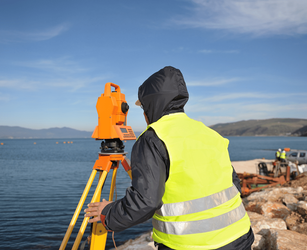
Precision Above and Below the Waterline
Many engineering and environmental projects don't stop at the shoreline. Understanding the depth, contours, and physical characteristics of a body of water is critical for infrastructure safety and regulatory compliance. At Lane S. Bishop & Associates, we use advanced sonar technology and GPS integration to deliver comprehensive bathymetric surveys.
Whether you are calculating the volume of a retention pond, planning a dredging operation, or mapping riverbed changes, our hydrographic data provides a definitive vertical and horizontal record of the submerged terrain.
Critical Data for Aquatic Environments

Dredging & Excavation
Determine pre-dredge volumes and post-dredge verification to ensure project specifications and payment quantities are met.

Reservoir & Pond Management
Map sediment buildup and calculate storage capacities for municipal water supplies or commercial retention systems.

Submerged Infrastructure
Inspect and map the terrain surrounding bridge piers, pipelines, and underwater utility crossings for safety and stability.
High-Resolution Sonar & GPS Integration
Our team utilizes high-resolution [Single-Beam and Multi-Beam Sonar Systems] synchronized with survey-grade GPS. This dual-technology approach ensures that every underwater data point is tied precisely to the global coordinate system, allowing our bathymetric maps to integrate seamlessly with your existing terrestrial site surveys and CAD plans.
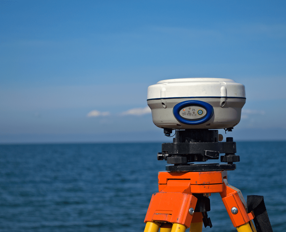
Borrow Pit Surveys: Precise Measurement for Earthwork Operations
Accurate volume calculations and excavation monitoring for contractors, developers, and municipalities. We provide the data-driven verification needed to manage material movement and ensure project profitability.
Quantifying the Ground Beneath You
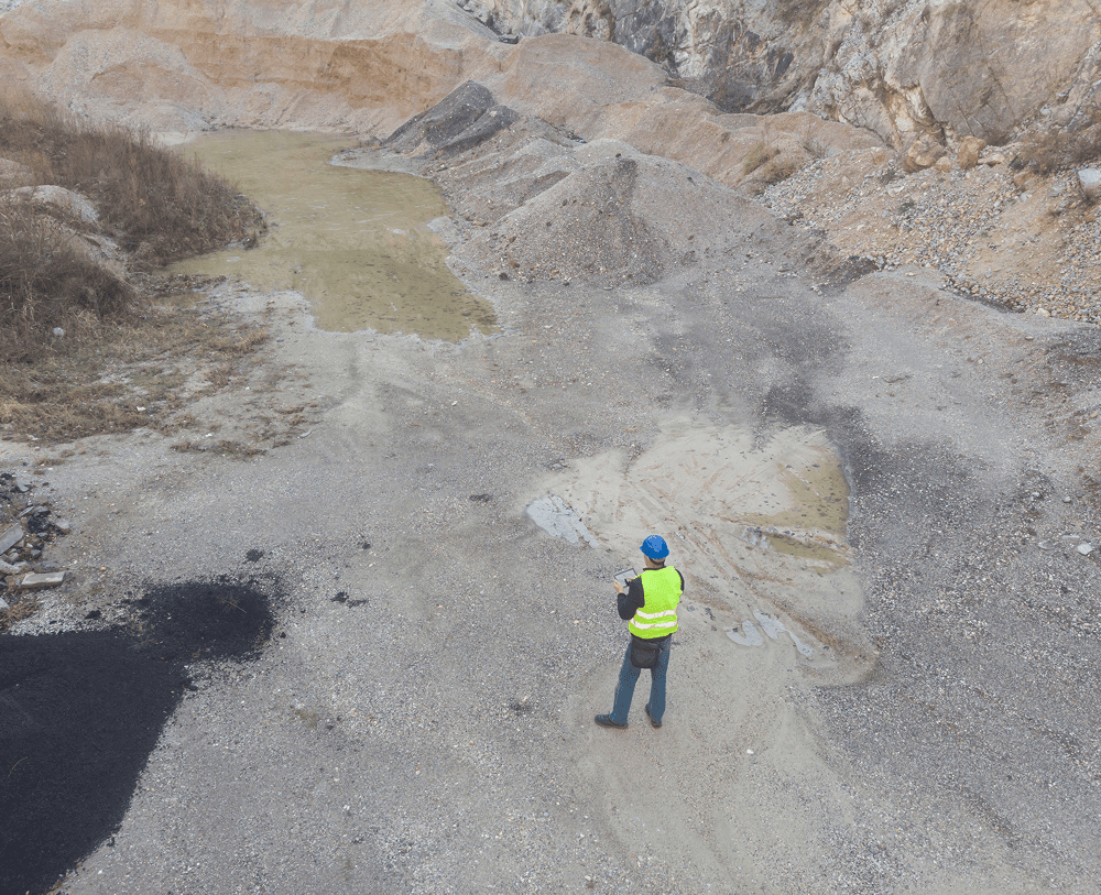
In large-scale construction and mining, dirt is more than just earth—it's a critical resource that must be measured with precision. A borrow pit survey involves calculating the exact volume of material removed from or added to a site. These measurements are essential for accurate billing, inventory management, and ensuring that excavation stays within permitted limits.
At Lane S. Bishop & Associates, we combine nearly five decades of field experience with modern mapping technology to provide definitive volume reports. Whether you are managing a small municipal borrow pit or a massive industrial quarry, our data gives you the transparency needed to move your project forward.
Comprehensive Earthwork Solutions

Precise Volume Calculations
Utilizing "Before" and "After" topographic data to calculate the exact cubic yardage of material moved, ensuring contractors are paid accurately for their work.

Permit & Limit Monitoring
Verifying that excavation remains within the horizontal and vertical boundaries established by local permits and environmental regulations.

Stockpile Inventory
Rapid measurement of material stockpiles using [LiDAR] or photogrammetry to provide real-time inventory levels for site managers.
Efficiency Meets Expert Analysis
Manual measurement of earthwork is a thing of the past. We utilize high-accuracy GPS and drone-based [remote sensing] to capture thousands of data points across a pit in minutes. This data is then processed through specialized software to generate highly detailed contour maps and volume reports that are audit-ready and legally sound.
With licensure across GA, TN, NC, SC, and AL, we serve as the regional authority for contractors who demand speed without sacrificing the accuracy their bottom line depends on.
Subsurface Utility Engineering: Seeing Beneath the Surface
Reducing risk and preventing utility strikes through high-precision underground mapping. We provide the technical data needed to design and build safely around the complex networks that power our cities.
Protect Your Crew and Your Timeline
Construction in a modern urban or industrial environment is a high-stakes operation. Striking an underground utility line doesn't just cause a delay; it can lead to massive financial liabilities, environmental hazards, and severe injury. Subsurface Utility Engineering (SUE) is a specialized branch of engineering that combines civil engineering, geophysics, and surveying to accurately identify and map underground infrastructure.
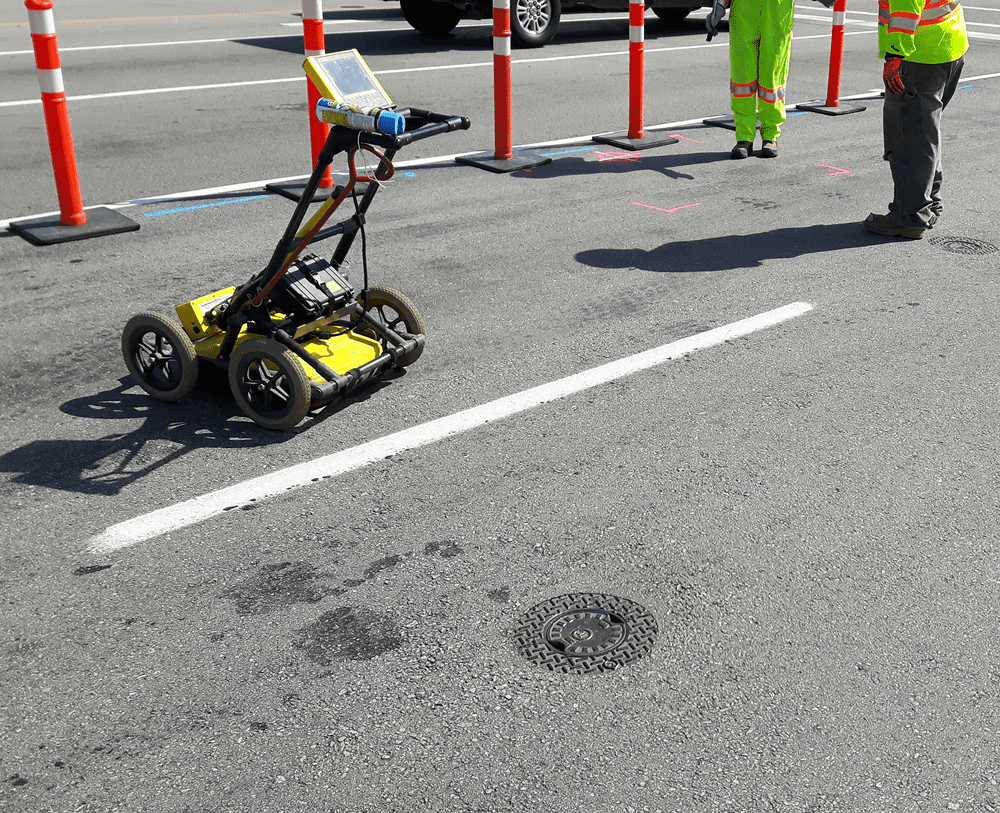
At Lane S. Bishop & Associates, we utilize non-destructive geophysical methods to locate everything from gas mains and water lines to abandoned conduits. By providing a 3D spatial record of these assets, we allow your design team to plan around obstacles before the first shovel hits the ground.
Technical Precision for Every Project Phase

Quality Level D (Records Research)
The foundational stage, involving meticulous review of existing utility records and verbal information from providers.

Quality Level C (Topographic Mapping)
Surveying visible surface features (valves, manholes, hydrants) and correlating them with existing records for better accuracy.

Quality Level B (Designation)
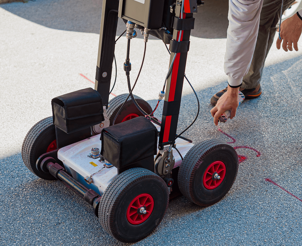
Utilizing surface geophysical methods—including [Cable & Pipe Locators] and [GPR]—to identify and map the horizontal position of utilities.

Quality Level A (Locating)
The highest level of accuracy, involving non-destructive vacuum excavation (potholing) to verify the precise horizontal and vertical position of the utility.
Advanced Geophysical Detection
We move beyond standard "Call Before You Dig" services. Our team utilizes high-frequency electromagnetic locators and GPR systems to detect both metallic and non-metallic lines. This data is then tied directly to our survey-grade GPS control, creating a high-fidelity map that integrates seamlessly with your CAD or GIS system.
With 45+ years of experience and licensure in 5 states, Lane S. Bishop & Associates is the regional partner you need for projects that demand the highest safety and data standards.