
Wetland & OCRM Delineation: Navigating Regulatory Environments
Accurate identification and mapping of jurisdictional boundaries for environmental protection and project permitting. We provide the certified spatial data required to move your development forward while respecting the Southeast's vital natural resources.
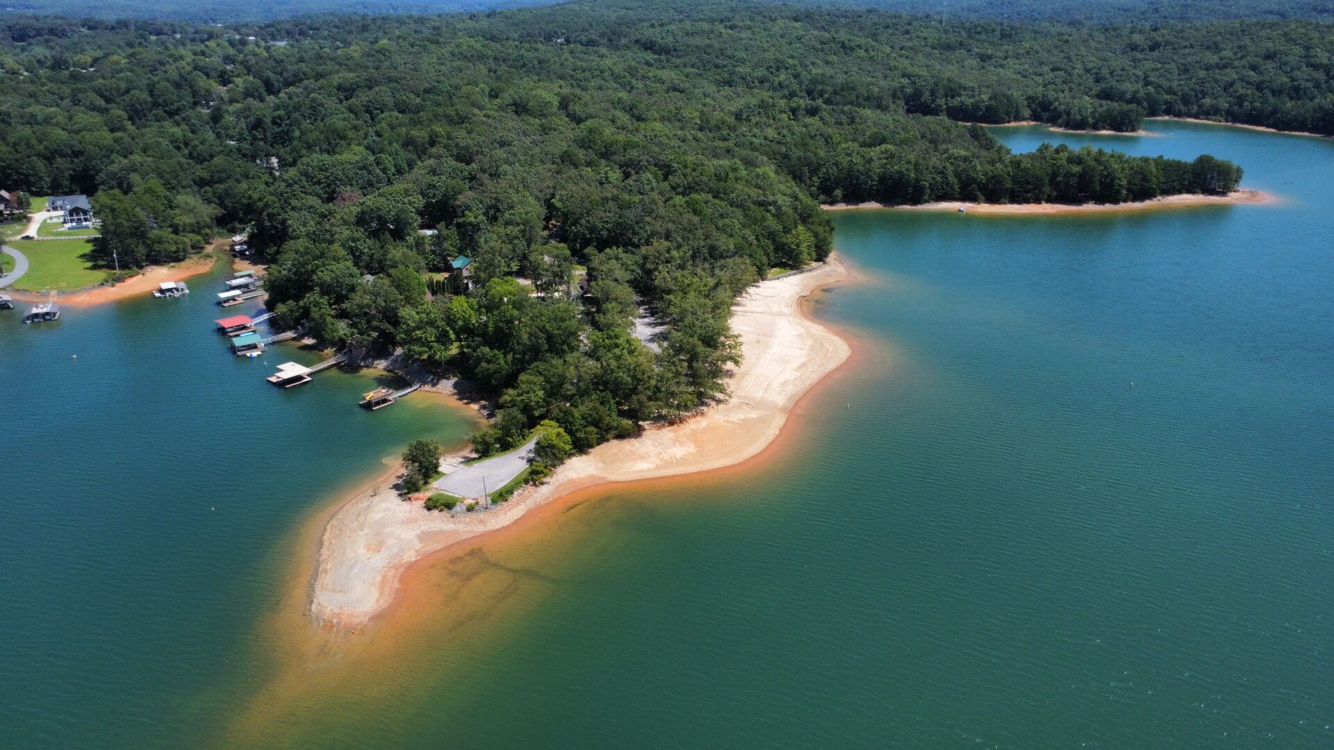
Precision in Protected Landscapes
Developing land in the Southeast often means working near sensitive ecosystems. Wetland delineation is the process of identifying the exact physical boundary between upland and jurisdictional wetlands or water bodies. This line is critical, as it determines where building can occur and where federal or state protections begin.
At Lane S. Bishop & Associates, we work closely with environmental consultants and regulatory agencies to map these lines with total accuracy. By providing a certified survey of the delineated area, we help our clients secure the necessary permits from the U.S. Army Corps of Engineers and local environmental departments.
OCRM & Coastal Compliance
For projects in coastal regions, additional oversight from the Office of Ocean and Coastal Resource Management (OCRM) is often required. Our team is experienced in mapping critical coastal lines, including setbacks from marshes and sand dunes. We provide the technical documentation needed to ensure your coastal development meets the specific regulatory standards of South Carolina, North Carolina, and Georgia.
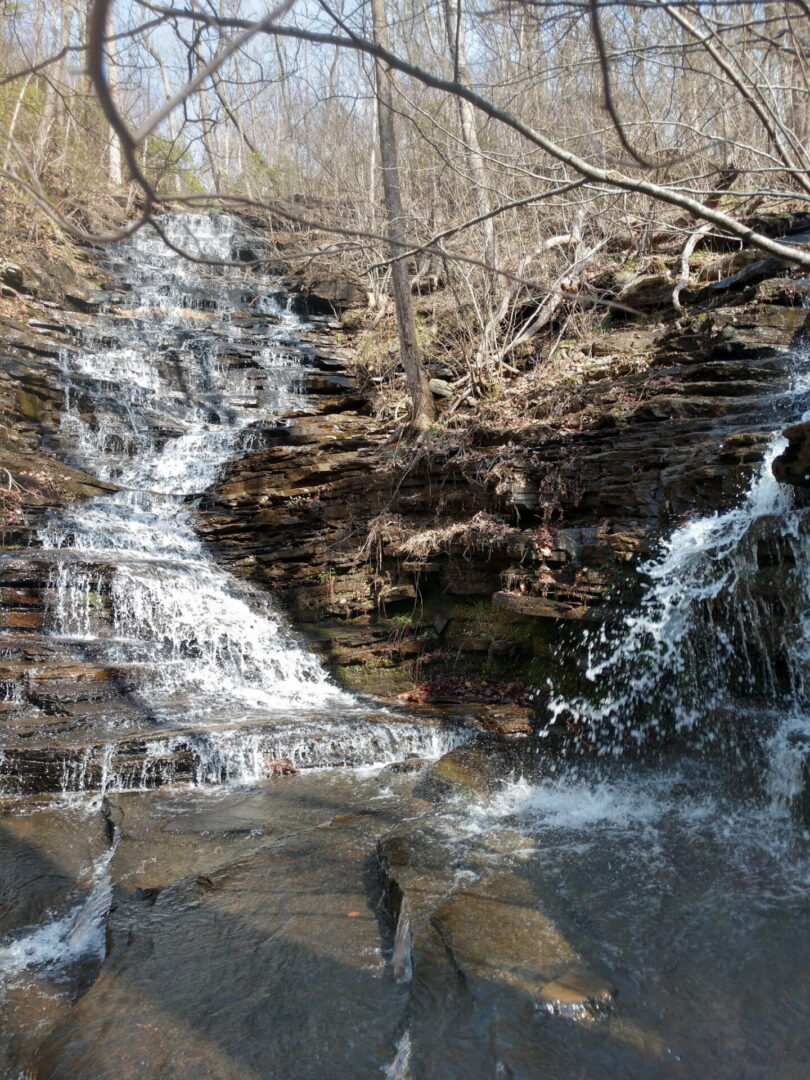
Why Accuracy Matters for Delineation

Permitting Efficiency
Precise surveys prevent delays in the "Section 404" permitting process with the Army Corps of Engineers.

Site Optimization
By knowing exactly where protected land begins, you can maximize the buildable area of your property without risking legal fines.

Long-Term Compliance
Our 45+ years of experience ensures that our mapping stands up to the most rigorous agency audits and environmental reviews.