GIS Services: Turning Spatial Data Into Actionable Insight
Advanced Geographic Information Systems (GIS) solutions for municipalities, utility providers, and large-scale developers. We help you visualize, manage, and analyze your assets with millimeter-level precision.
The Power of Intelligent Mapping
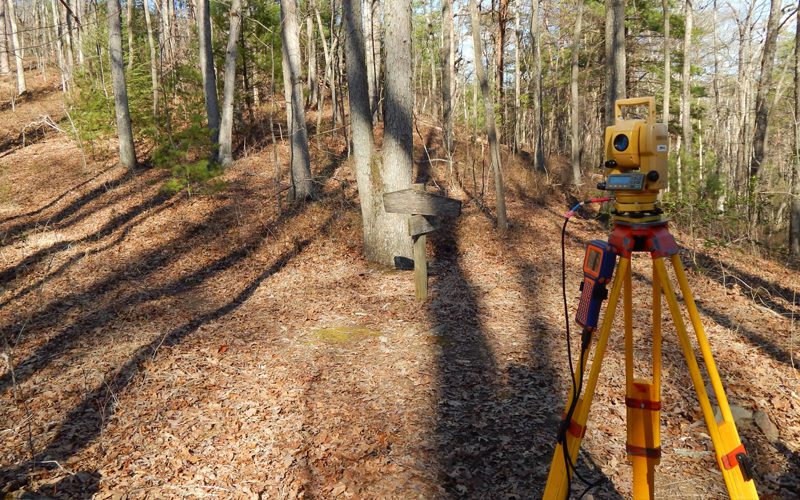
In the modern era of land management, a static map is no longer enough. GIS allows us to layer complex surveying data—such as topography, boundaries, and utility locations—with external databases to create a living digital record of your property or infrastructure.
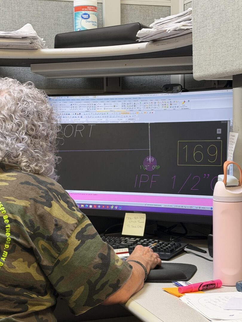
At Lane S. Bishop & Associates, we don't just collect data; we organize it. Our GIS experts transform raw field measurements into intelligent geospatial databases, giving you a powerful tool for long-term planning, asset management, and regulatory compliance across our 5-state service area.
Custom Geospatial Solutions

Asset Management
Map and track physical infrastructure—from sewer manholes to fiber optic lines—within a centralized digital database for easier maintenance and repair.

Spatial Analysis
Use layered data to identify trends, find optimal sites for new development, or assess environmental impact based on precise survey results.

Digital Twin Creation
Combine LiDAR and ground surveys into a high-fidelity digital representation of your site, ready for integration with BIM or municipal planning software.
Informed Decisions Start With Quality Data
The primary benefit of GIS is clarity. By centralizing your spatial data, you reduce the risk of utility strikes, simplify the permitting process, and make informed financial decisions about land use. Whether you are a city planner or a private developer, our GIS services provide the technical edge needed to manage large-scale projects with total confidence.