Subsurface Utility Engineering: Seeing Beneath the Surface
Reducing risk and preventing utility strikes through high-precision underground mapping. We provide the technical data needed to design and build safely around the complex networks that power our cities.
Protect Your Crew and Your Timeline
Construction in a modern urban or industrial environment is a high-stakes operation. Striking an underground utility line doesn't just cause a delay; it can lead to massive financial liabilities, environmental hazards, and severe injury. Subsurface Utility Engineering (SUE) is a specialized branch of engineering that combines civil engineering, geophysics, and surveying to accurately identify and map underground infrastructure.
At Lane S. Bishop & Associates, we utilize non-destructive geophysical methods to locate everything from gas mains and water lines to abandoned conduits. By providing a 3D spatial record of these assets, we allow your design team to plan around obstacles before the first shovel hits the ground.
Technical Precision for Every Project Phase

Quality Level D (Records Research)
The foundational stage, involving meticulous review of existing utility records and verbal information from providers.

Quality Level C (Topographic Mapping)
Surveying visible surface features (valves, manholes, hydrants) and correlating them with existing records for better accuracy.

Quality Level B (Designation)
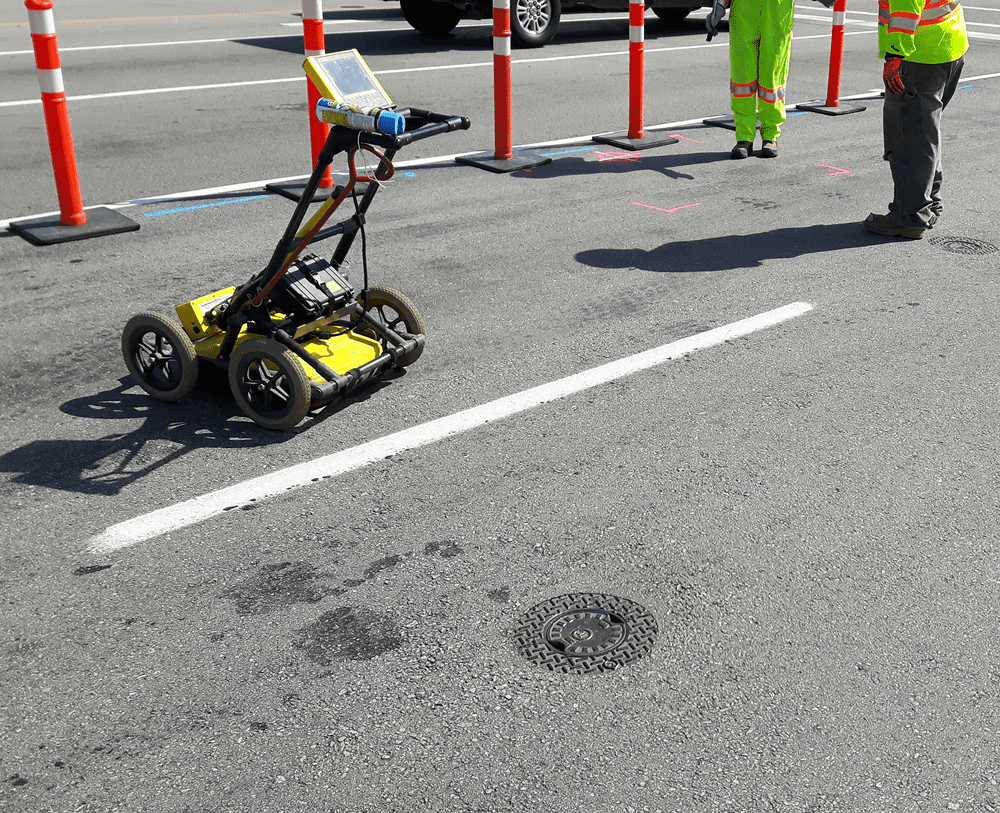
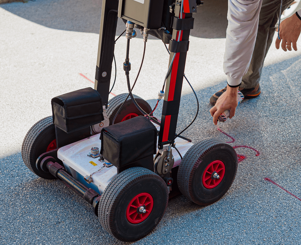
Utilizing surface geophysical methods—including [Cable & Pipe Locators] and [GPR]—to identify and map the horizontal position of utilities.

Quality Level A (Locating)
The highest level of accuracy, involving non-destructive vacuum excavation (potholing) to verify the precise horizontal and vertical position of the utility.
Advanced Geophysical Detection
We move beyond standard "Call Before You Dig" services. Our team utilizes high-frequency electromagnetic locators and GPR systems to detect both metallic and non-metallic lines. This data is then tied directly to our survey-grade GPS control, creating a high-fidelity map that integrates seamlessly with your CAD or GIS system.
With 45+ years of experience and licensure in 5 states, Lane S. Bishop & Associates is the regional partner you need for projects that demand the highest safety and data standards.